There are 42 release areas available for offshore oil and gas exploration. They are offshore of the Northern Territory, Western Australia, Victoria and the Ashmore and Cartier Islands.
The annual acreage release offers the petroleum industry a variety of investment opportunities.
Industry nominated the release areas. Then we consulted with the public, governments and stakeholders to determine the final release. View feedback from stakeholders provided during public consultation.
Bidding on these areas closed on Tuesday 1 June 2021.

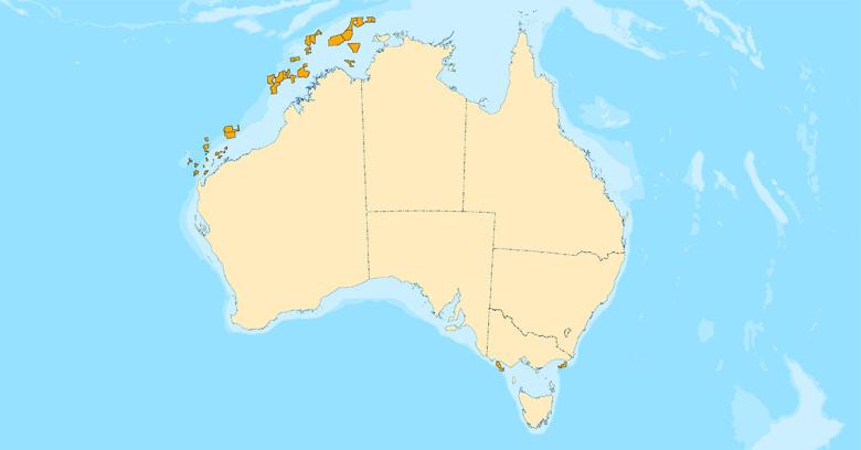
Explore acreage release areas
See regional geology, high resolution maps, block diagrams and block listings for:
Access key files and supporting data
- Download a booklet of all release area maps [6.11MB PDF]
- Download shapefiles in vector (GIS) format [127KB ZIP]
- See Geoscience Australia’s geological information for this release.
- Access more data and an interactive map of the release areas via the National Offshore Petroleum Information Management System (NOPIMS).
Geoscience Australia partnered with us to provide geological information to support this release. Maps and field outlines are from GPinfo, a Petrosys Pty Ltd product, and are accurate as at 2 July 2020.