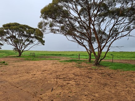
All site characterisation activities at Napandee have now stopped as it's no longer being pursued as the site for the National Radioactive Waste Management Facility. Read about the decision.
All activities were not permanent and we'll reverse or remediate them.
Remediation
We're planning the remediation work which will make sure the site stays safe and we protect cultural heritage.
We'll continue to seek to work with the Traditional Owners on managing cultural heritage.
About the site characterisation activities
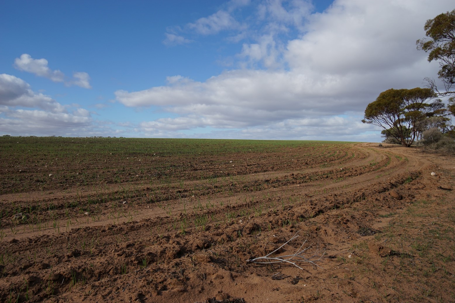
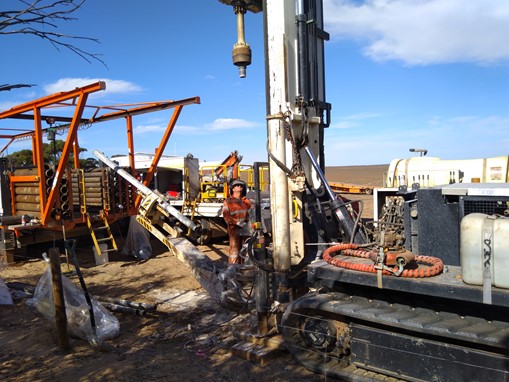
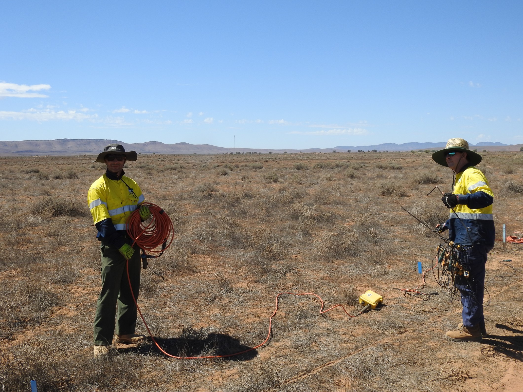
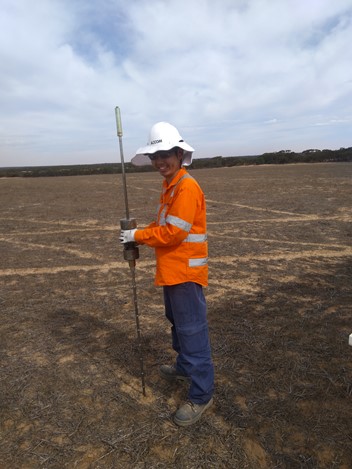
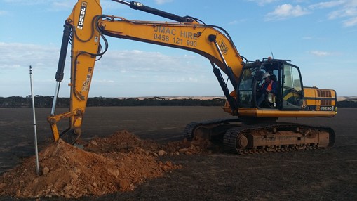
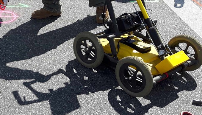
Site characterisation activities included:
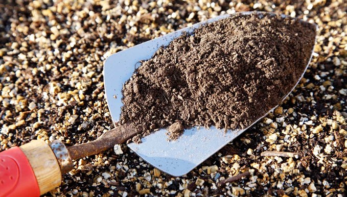
- surface soil sampling
- flora and fauna surveys
- groundwater monitoring
- geotechnical investigations
- borehole drilling
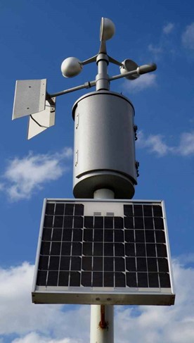
- weather station installation
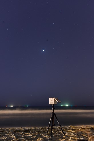
- installation of a cosmic ray moisture sensor
- pile drivability testing for solar farm
- mapping of underground services for enabling works
- cultural heritage activities such as localised surveys and consultation.
Protecting cultural heritage
We take our obligation to safeguard and protect cultural heritage seriously.
ARWA consulted with the Barngarla People, who are the Traditional Owners of much of the eastern Eyre Peninsula. Their native title boundary ranges from Port Lincoln to Whyalla, Port Augusta and Kimba.
A Cultural heritage management plan was developed to protect identified and unknown cultural heritage at the site during our activities.