Site characterisation activities

We performed site activities at Napandee including flora and fauna, geological and soil studies.

All site characterisation activities at Napandee have now stopped as it's no longer being pursued as the site for the National Radioactive Waste Management Facility. 

All activities were not permanent and we'll reverse or remediate them. 

Remediation

We're planning the remediation work which will make sure the site stays safe and we protect cultural heritage.

We'll continue to seek to work with the Traditional Owners on managing cultural heritage. 

About the site characterisation activities

Site characterisation activities included:

  • surface soil sampling
  • flora and fauna surveys
  • groundwater monitoring
  • geotechnical investigations
  • borehole drilling
  • weather station installation
  • installation of a cosmic ray moisture sensor
  • pile drivability testing for solar farm
  • mapping of underground services for enabling works
  • cultural heritage activities such as localised surveys and consultation.

Protecting cultural heritage

We take our obligation to safeguard and protect cultural heritage seriously.

ARWA consulted with the Barngarla People, who are the Traditional Owners of much of the eastern Eyre Peninsula. Their native title boundary ranges from Port Lincoln to Whyalla, Port Augusta and Kimba.

A Cultural Heritage Management Plan was developed to protect identified and unknown cultural heritage at the site during our activities.


Surface soil sampling and testing for background radiation

A handheld meter measured the levels of naturally occurring radiation at the ground surface. Workers measured properties near the site and roads near the site and towards Kimba.

Workers used a hand trowel or similar tool to collect soil samples from the ground. Laboratory staff then tested these samples.

No testing occured on or near identified heritage sites under the Cultural Heritage Management Plan.

This activity will involved about 2 workers.

Hand trowel being used to collect soil samples from the ground.

Flora and fauna surveys

Flora and fauna surveys involved observing and documenting species. 

Native vegetation growing on the land.

Light surveys

Workers measured ambient light levels on the site using cameras and hand held lux meters.

This created baseline levels for comparison during project construction or operation.

An electronic instrument being used outside to measure sound and light.

Weather station installation, and dust and air sampling

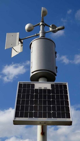
An on-site weather station recorded climate data such as wind direction and speed, rainfall and temperature.

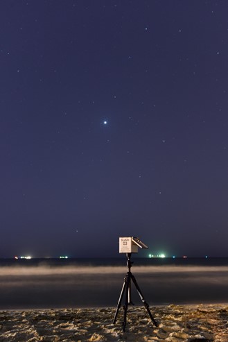
Workers will also regularly collected dust, air and radiation samples using equipment attached to tripods and stands.

A weather station that is used to measure and record climate data such as wind direction and speed, rainfall and temperature.

Drilling to support soil, rock and groundwater sampling and testing

Workers used equipment to extract soil, rock and any underground water samples for laboratory testing.

Thin bores varied in diameter between 50mm and 250mm and ranged in depth from 3 to more than 100m. 

Workers placed sensors or extraction tools down the holes to characterise the sub-surface conditions underground and extract samples. 

Workers decomissioned and backfilled any boreholes not needed for ongoing work.

Workers collected water samples from nearby farm dams, drainage lines and rainwater gauges or tanks.

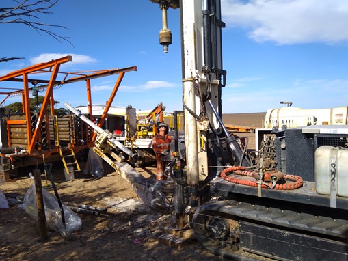
A worker operating drilling equipment to extract soil, rock and underground water for testing.

Geophysical surveys to map soil and rock layers

A geophysical survey collected information on the structure of soil and rock beneath the site.

A vibrating steel plate attached to a vehicle sent energy waves underground. Sensors then measured the energy waves that bounced back from the different soil and rock layers. Workers repeated this process along survey lines across parts of the site.

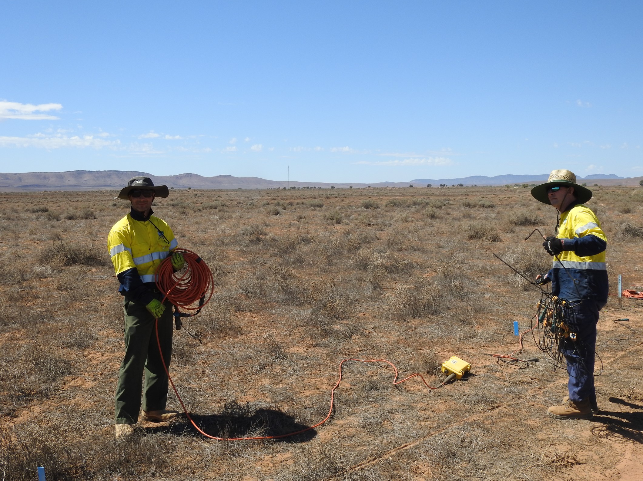
Two workers using equipment to survey the land.

Geotechnical investigations (on and off site)

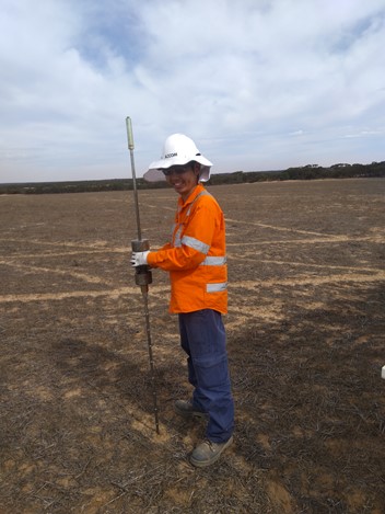
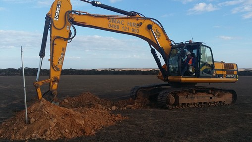
Workers dug pits or trenches between 1 and 3 m deep using equipment that is commonly used on farmland and for industry. Workers used these pits or trenches to document soils and rock and to collect samples for testing by laboratories. They temporarily drove thin metal rods up to about 2m into the ground to measure the ability of the soil to bear a load.

After they drilled the boreholes, they backfilled the pits with grout.

A worker holding a piece of equipment that is used to investigate the soil.

Geotechnical surveys to facilitate solar microgrid

We expected the future facility would need a solar microgrid. A microgrid has a series of solar panels fixed to steel piles which are driven into the ground. 

As part of site characterisation works, geotechnical surveys measured the strength and resistance of the soils using specialised equipment.

Workers measured the amount soil resists or conducts electricity where the microgrid and other electrical equipment would be.

A worker operating machniery to dig into the ground.

Underground service location

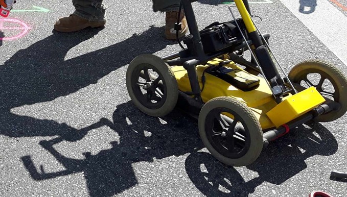
Workers used hand-held tools including ground penetrating radar to locate underground services such as existing water mains, communications cables or power cables.

Where there was a need to visually identify the type and depth of the underground service, workers used a high-pressure water jet and a vacuum hose.

Equipment used on the field to locate underground services.

Archaeological surveys

An archaeological survey assessed culturally sensitive areas and objects located on and off the site. This included identifying any potential archaeological sites and objects.

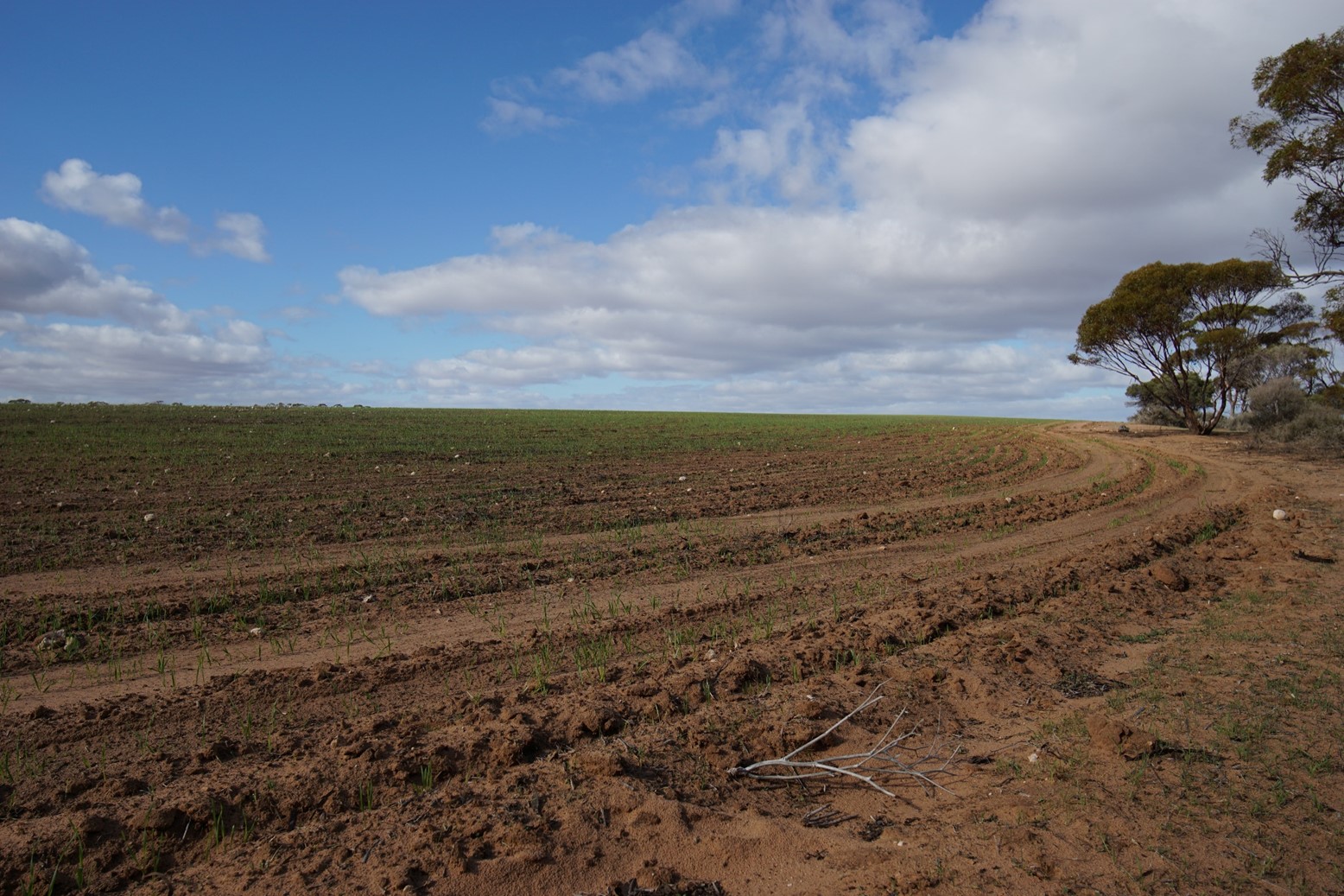
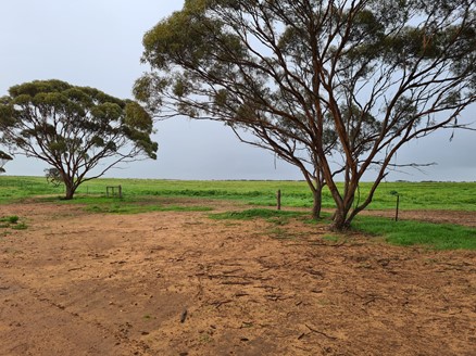
Land and trees near the site.

Was this page helpful?

Was this page useful?
Yes
No
Neither

Thank you for your feedback!

Would you like to tell us more about your experiences with this page? (optional)

Feedback you provide will not be directly answered. If you require a reply, please reach out to the page contact directly. For any other queries, please use our general enquiries web form.

Please do not include personal or financial information (e.g. email addresses, phone numbers or credit card details).

Your feedback is covered by our privacy policy.